India is on its way towards the completion of the IRNSS or the Indian Regional Navigation Satellite System. In layman’s terms, this will be India’s own GPS that will provide navigation aid for travelers, voice recognition and navigation for drivers, disaster management solutions, vehicle and fleet tracking, military navigation and many other services!
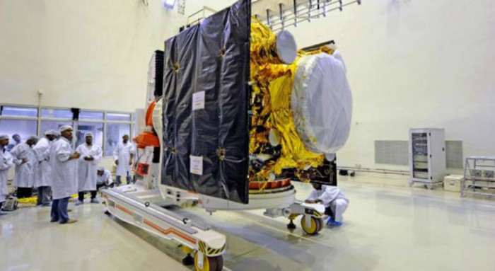
ISRO will have a combination of 7 satellites working in the orbit, which will be in apt positions to help tracking signals reach every part of the country. 4 of these (IRNSS-1A, 1B, 1C, and 1D) have already been placed in Orbit, the remaining three (IRNSS-1E, 1F and 1G), will be placed early next year, so that the tracking system can be started to be used by mid next year.
Right now, US provides GPS (Global Positioning System) to the world, yet GPS does not reach the remote areas in India and is also unpredictable during emergencies. So India decided to take things in her own hands.
Image courtesy: www.engadget.com
The IRNSS will reach regions located in a 1500 km radius around India. It provides two services namely
• Standard Positioning Service (SPS) – This will be provided to all users
• Restricted Service (RS) – This is an encrypted service that will be provided to authorised users only.(Example: The military)
Well, the IRNSS was planned to be unveiled this year, but due to work pending, it will see the light mid 2016.